Back
Security & Dual Use
Maritime & Fisheries
Tordenskjold

How Danish Company Tordenskjold Uses Satellite Technology to Enhance Maritime Security

Share
Credit: Unsplash

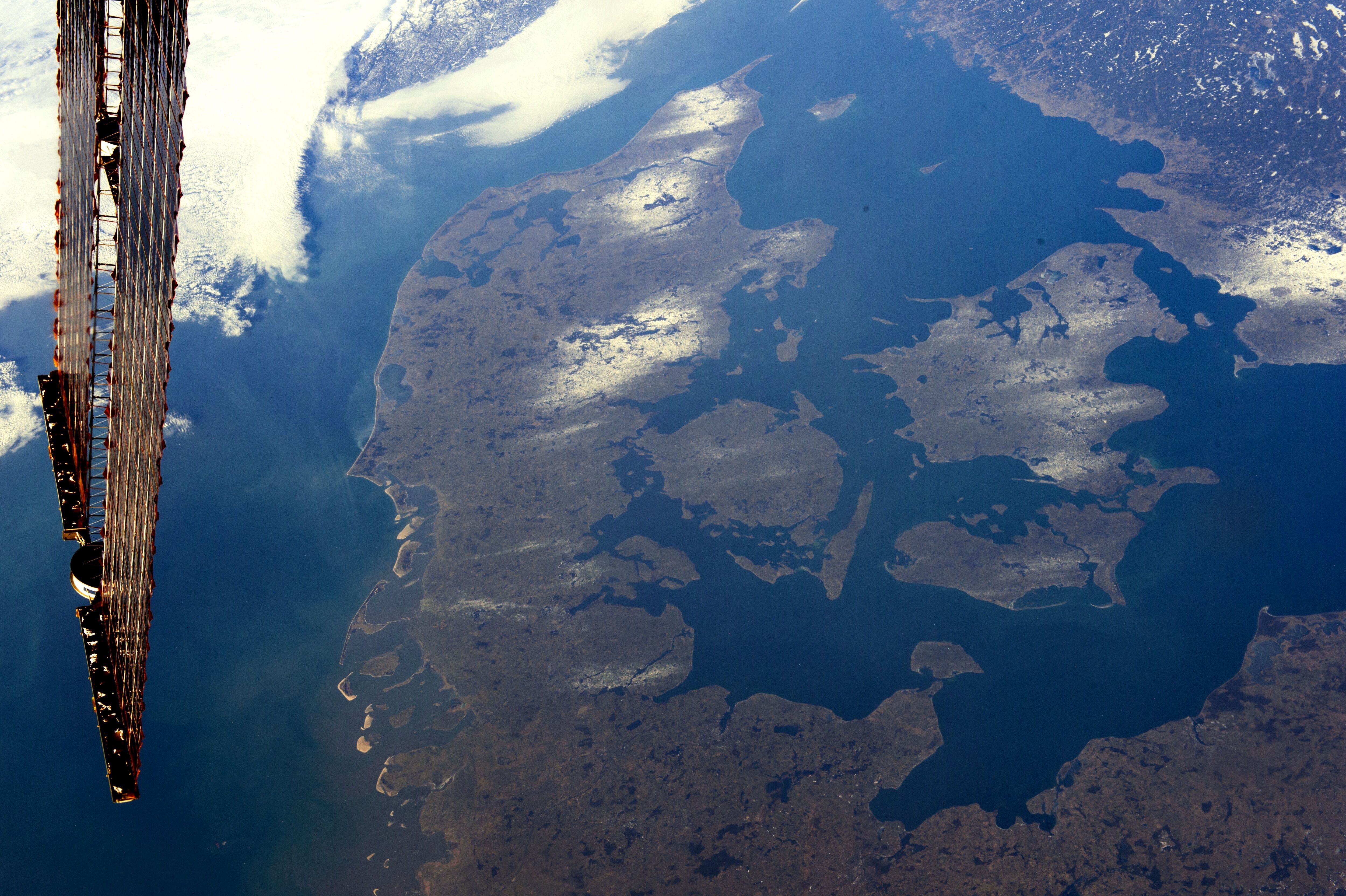
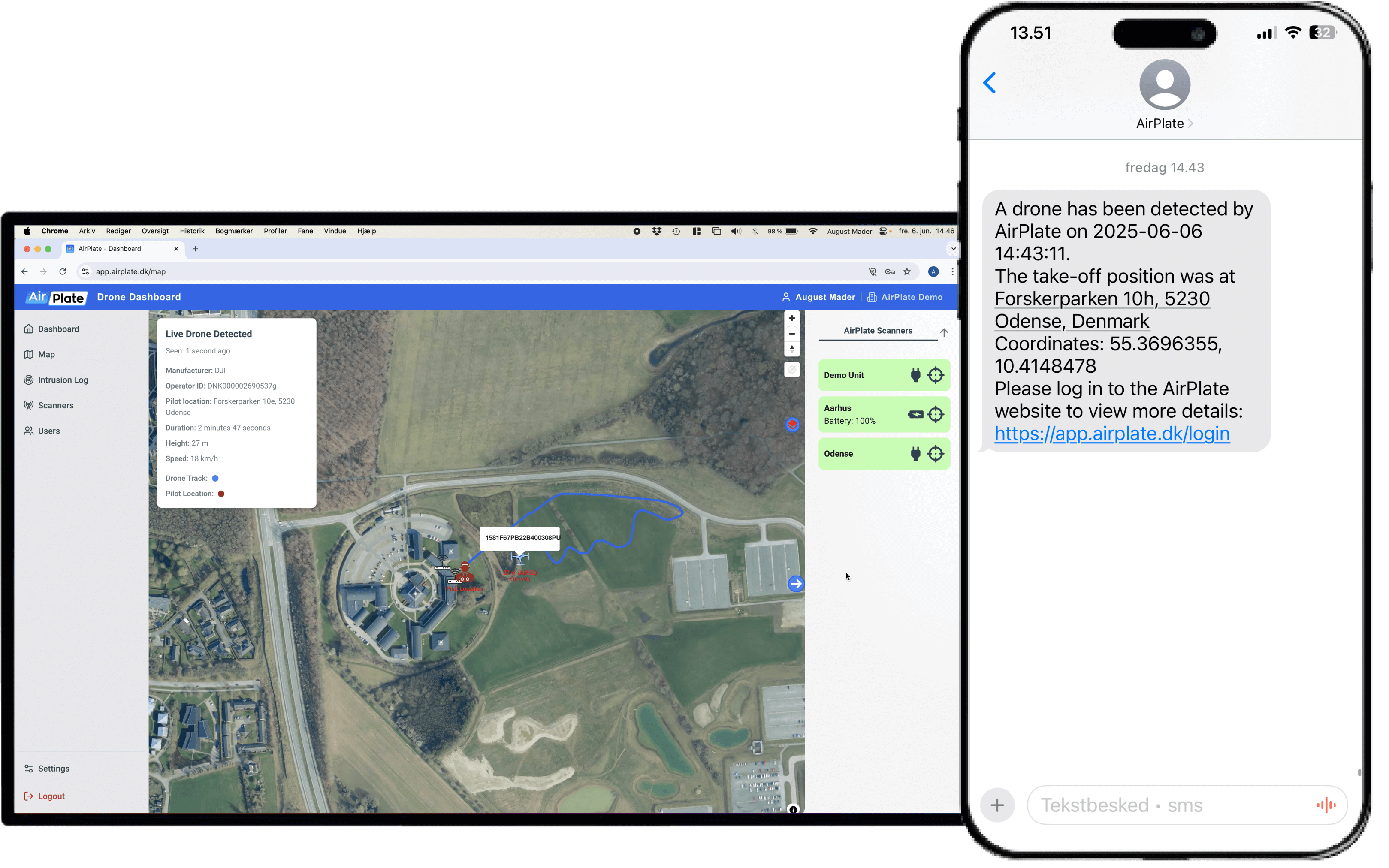
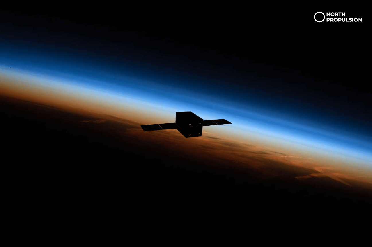
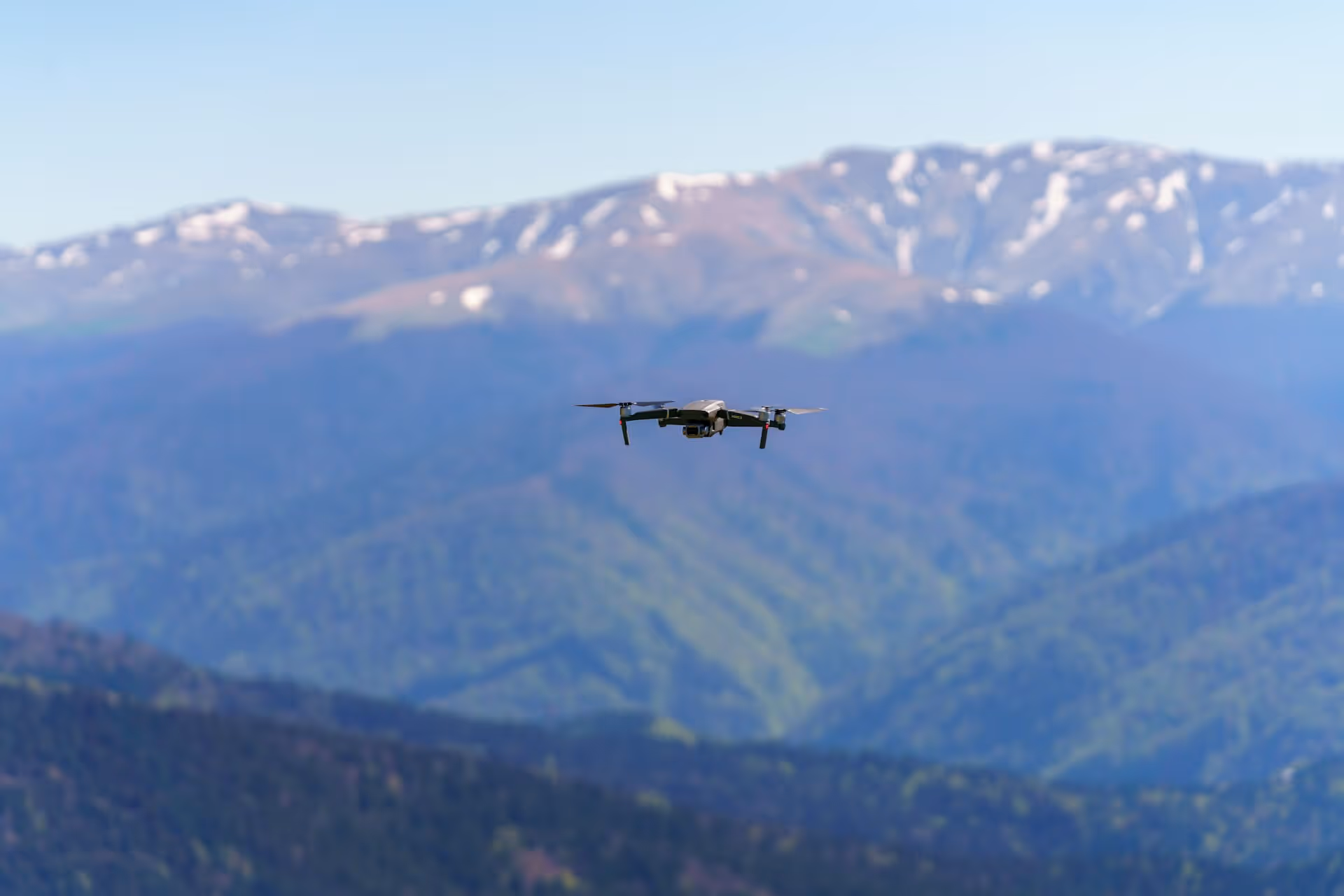
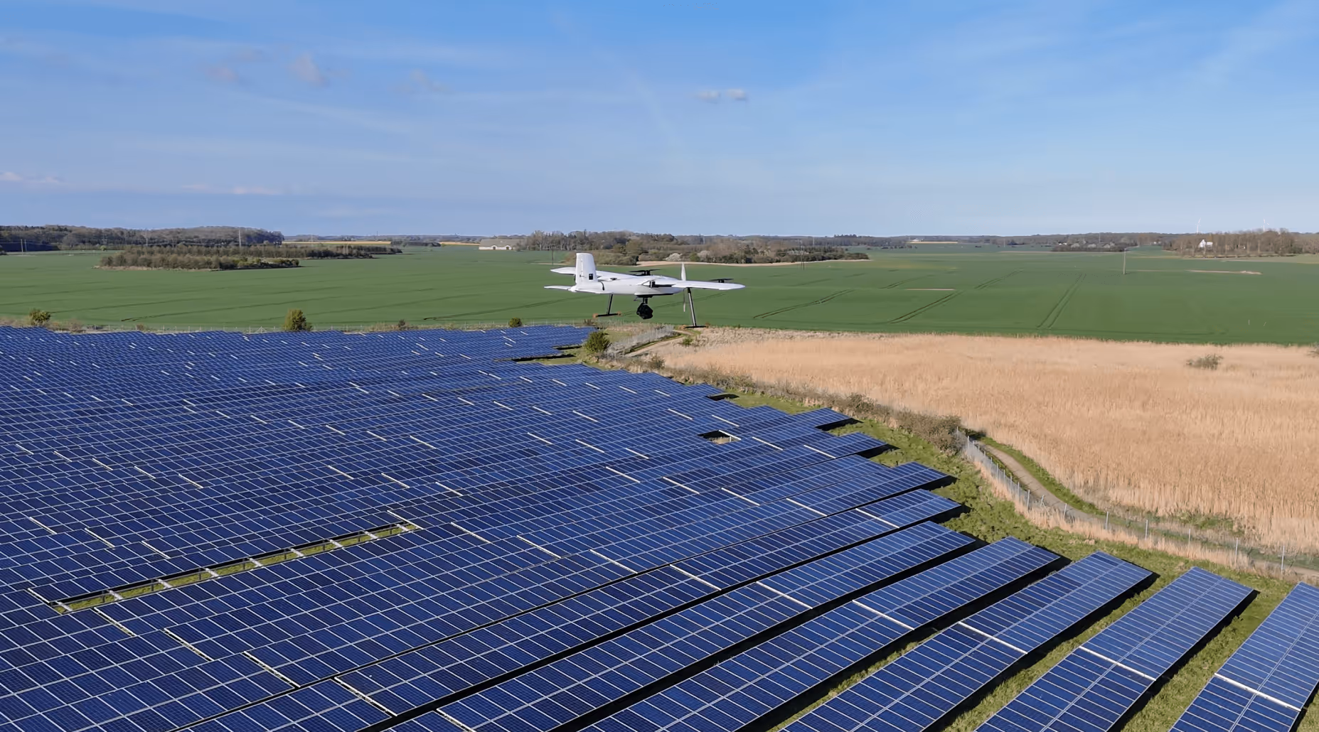
Tordenskjold is bringing space tech down to Earth by making the invisible visible at sea. Using satellite data like radar images and radio signals, Tordenskjold tracks “dark ships” that try to avoid detection by switching off their trackers. With smart AI tools, Tordenskjold turns raw space data into clear insights about who’s out there, what they’re doing, and what to do about it. This helps authorities and organizations respond to illegal activities, improve safety, and better manage our oceans. Their technology is already being integrated into maritime monitoring systems to support everything from national security to environmental protection

Using satellite data to uncover hidden ship activity

Why does that matter? Because many vessels operate without broadcasting their location, making it hard to monitor illegal fishing, smuggling, or sanctions violations. Tordenskjold uses satellite data and AI to detect these “dark ships,” giving authorities, coast guards, and environmental groups a more complete view of what’s happening at sea. This helps improve maritime security, enforce international laws, and protect marine resources.

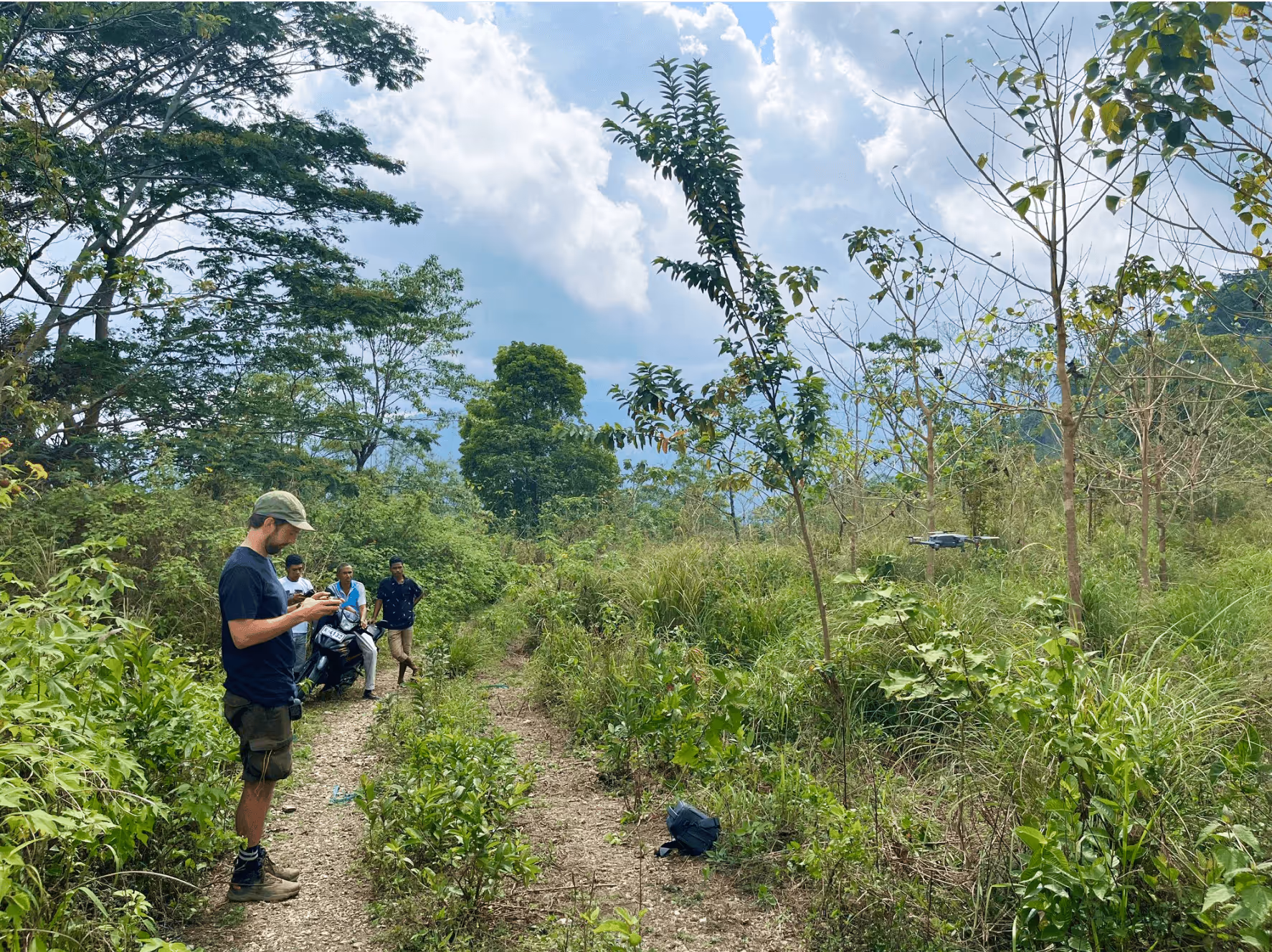
This shows how space-based technology like SAR, RF and optical imaging - can support practical needs on Earth by improving visibility and control over maritime activity

Looking to explore how space technology can enhance your business?

Tordenskjold shows how satellite data can be a game-changer in maritime security, helping companies monitor hidden ships and improve operational transparency. Their innovative use of space-based tools is a great example for any industry looking to integrate space technology into their solutions.

ESA BIC and its Technology Brokers provide the support, expertise, and resources companies like Tordenskjold need to unlock the potential of space tech. Get in touch to discover how space can take your business to the next level.

Katharine Mairin Rockliff
Space Technology Analyst

Related articles

Manufacturing
ThiaX provides real-time, non-destructive X-ray mapping of strain and crystallinity in polymers and composites

Jul 24, 2025

Case study
Drones & Robotics
AI-driven off-road autonomy software for unmanned ground vehicles on the modern battlefield

Case study
AI & Big Data
Security
Securing industrial IoT through decentralized data integrity

Case study
Drones & Robotics
Smart solutions for year-round outdoor cleaning

Case study
AI & Big Data
High efficiency compression for energy IoT and space applications

Case study
Environment
Species detection and classification with GNSS integration

Case study
Drones & Robotics
Security
Smart identification systems for drones and airspace safety

Case study
Agriculture
Geospatial and climate model integration for agricultural finance

Case study
Drones & Robotics
Autonomous operation software for agricultural machines

Case study
Healthcare
Durable chemical free biofilm protection for materials

Case study
Drones & Robotics
Electric cargo drone systems for efficient air freight

Case study
Drones & Robotics
Agriculture
Remote controlled drones for crop protection and livestock safety

Case study
Space
Field ready handheld chemical analysis devices

Case study
Space
Human centered design for future space habitats

Case study
Space
One stop solutions for spacecraft structural integration

Case study
Drones & Robotics
Secure and efficient flight management with multispectral imaging

Case study
N/A
Comprehensive performance data for horse riders and trainers

Case study
Drones & Robotics
Advanced VTOL drones for industrial aerial data

Case study
Infrastructure
Digital solutions for smart cities and communities

Case study
Healthcare
Smart medical devices for respiratory care

Drones & Robotics
Data driven market intelligence for industrial wastewate

Case study
Agriculture
Satellite enabled smart scheduling for farm management

Case study
Space
X-ray optics design and thin film coating solutions

Case study
Maritime
Drones & Robotics
Galileo enabled drone systems for maritime operations

Case study
Fintech
Fintech for liquid and sustainable forest assets

Case study
Healthcare
Assistive navigation solutions for the visually impaired

Case study
Drones & Robotics
Airborne antenna testing for global SatCom applications

Case study
Infrastructure
Smart GPS tracking for personal and business assets

Case study
Maritime
Maritime connectivity through LEO satellites

Case study
Infrastructure
Digital infrastructure for cities and municipalities

Case study
Agriculture
Early detection of crop threats through data-driven insights

Case study
Drones & Robotics
Autonomous platforms for repetitive and dangerous tasks

Case study
Agriculture
Cloud-free satellite imagery for urban and landscape monitoring

Case study
Drones & Robotics
High-end flight termination systems for safe drone operations

Case study
Space
Optimizing power supplies for commercial satellites

Case study
Maritime
Robotic solutions for maritime tasks

Case study
Agriculture
Drones & Robotics
Drone imagery analysis for crop and weed detection

Case study
Space
Non-destructive testing using terahertz lightwaves

Case study
N/A
Rapid installation of screw pile foundations

Case study
Space
Miniature chemical propulsion for microsatellites

Case study
Environment
Using earth observation to guide peatland restoration

Case study
Space
Advancing space-based materials and microdevice development

Case study
Maritime
Searchlights designed for safety and rescue at sea

Case study
Education
Science experiments made simple for the classroom

Case study
Environment
Drones & Robotics
Security
Reducing wildfire impact with autonomous technology

Case study
Security
Maritime
How Danish Company Tordenskjold Uses Satellite Technology to Enhance Maritime Security

Case study
Maritime
Sensemakers is Transforming the Danish Maritime Environment Using Space

Case study
Manufacturing
From road to orbit: How AIRY’s additive manufacturing for EVs is now building lightweight structures for satellites

Case study
Infrastructure
InnoPilot Leverages Space Technology to Keep Critical Infrastructure Safe and Connected

Case study
Healthcare
How Yuman frees up nurses using robots assistants integrated with GNSS

Case study
Fintech
From Space to Shipping Markets: How Danish Company Navi Merchant Uses Satellite Data to Predict Freight Prices

Case study
Environment
How Klimate uses space to verify forest carbon dioxide removal

Case study
Energy
Aerial Tools Uses Satellite Technology to Improve Energy Efficiency and Solar Maintenance

Case study
Drones & Robotics
How using satellite data helps HectoDrone to map environmental challenges and carry out surveillance in cold isolated areas like Greenland

Case study
AI & Big Data
Using Satellite Data, Atla.ai Delivers Smarter Solutions for Precision Agriculture

Case study
Agriculture
PerPlant Uses Space Technology to Make Precision Agriculture Accessible to All Farmers

Aug 1, 2025

Case study
All
What is a space connection?

Apr 28, 2025

Insight