


Related Content

CONTACT PERSON

Amanda Borup Pedersen
ESA BIC MANAGER, DTU
BOOK A STARTUP INTRO CALL


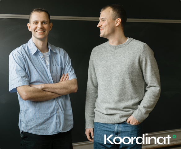
Contact Person

Poul zimmermann nielsen
ESA Technology broker, DTU
Get in touch

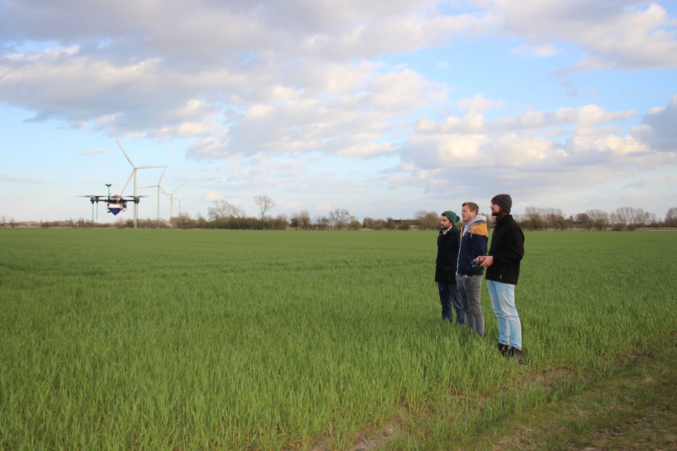
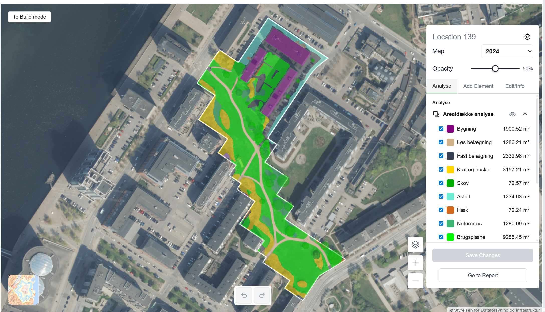
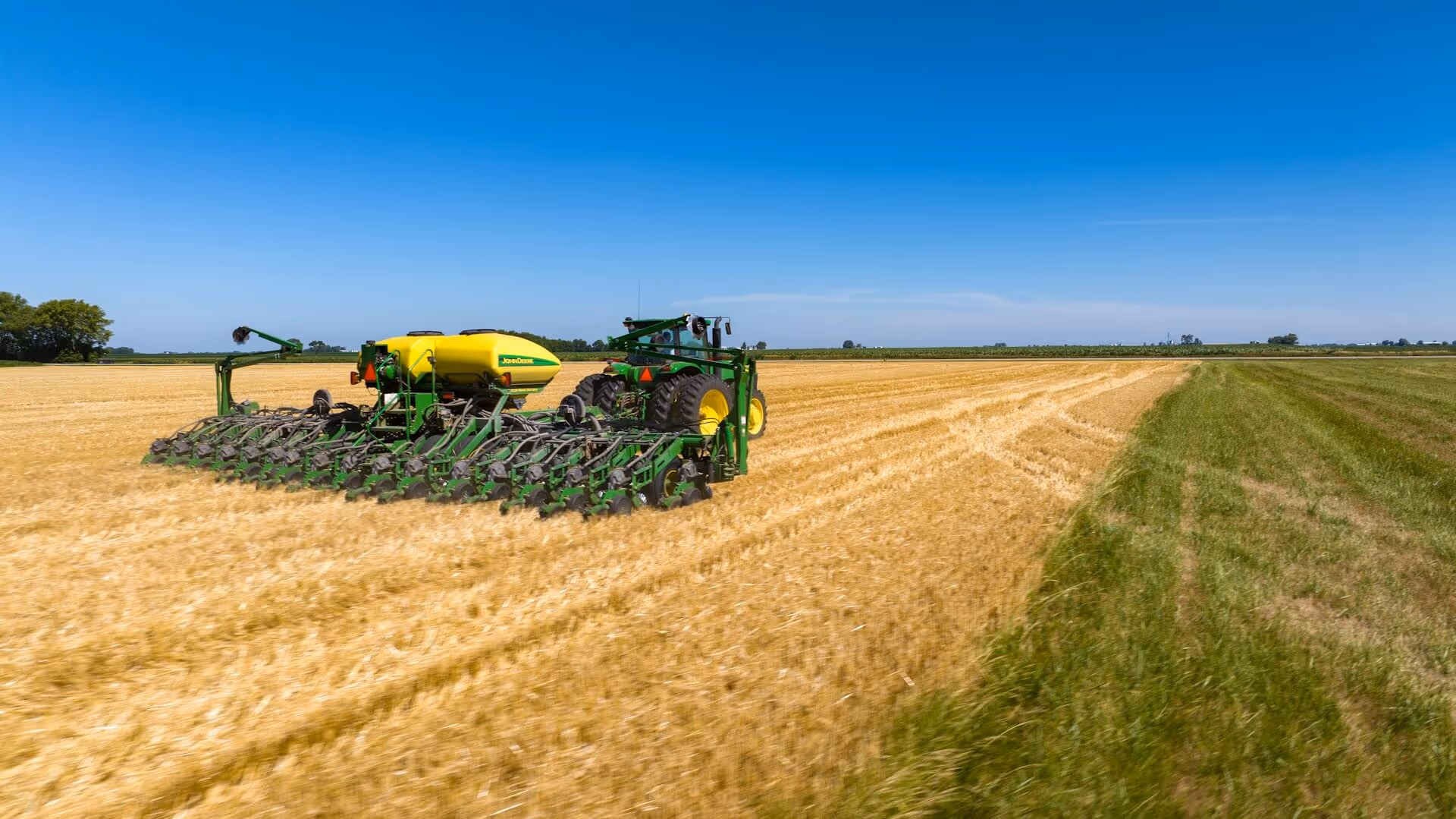
ClearSKY Vision delivers AI-powered, cloud-free satellite images for agriculture, forestry and environmental monitoring. We fuse SAR, optical and thermal data to reconstruct complete, Sentinel-2 compatible, wall-to-wall seamless images on a reliable cadence. Our analysis-ready images remove temporal gaps from clouds and shadows which can be integrated directly with dashboards and APIs for consistent time series monitoring. This lets agencies, agribusinesses and researchers track crops, compliance and land change at national and field scale.
ClearSKY generates wall-to-wall seamless images rather than traditional mosaics, so users get a single continuous surface that is ready for analysis and decision making. Trusted by SEGES Innovation for year-round monitoring and by the Swedish University of Agricultural Sciences (SLU) for project deliveries. Customers use ClearSKY to power near real-time Earth observation services, automate environmental compliance checks and run season over season analysis without cloud interference.
ClearSKY was incubated at ESA BIC Denmark in 2021 to 2022. The programme provided coaching, access to the ESA network and visibility in the Danish space ecosystem, which helped refine product-market fit, validate technical roadmap and navigate soft-funding opportunities.

May 18, 2026
May 14, 2026

Jul 24, 2025
%202.avif)
%202.jpg)
.png)


.jpg)


%202.png)


.jpg)

%202.avif)


.avif)

