Back
Space
Permasat

Bringing 5G Thinking to Low‑Earth Orbit

December 30, 2025
Credits: Permasat

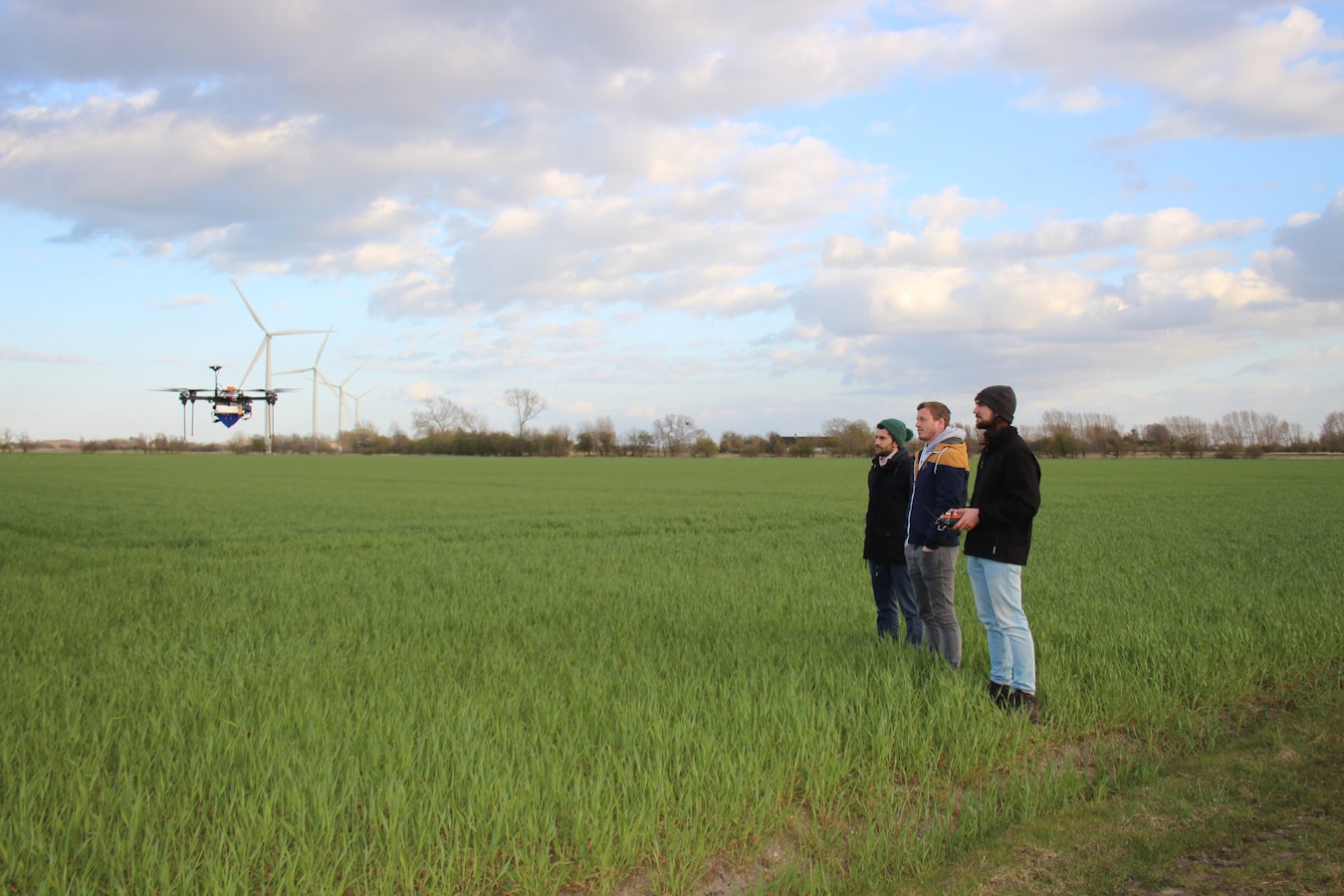
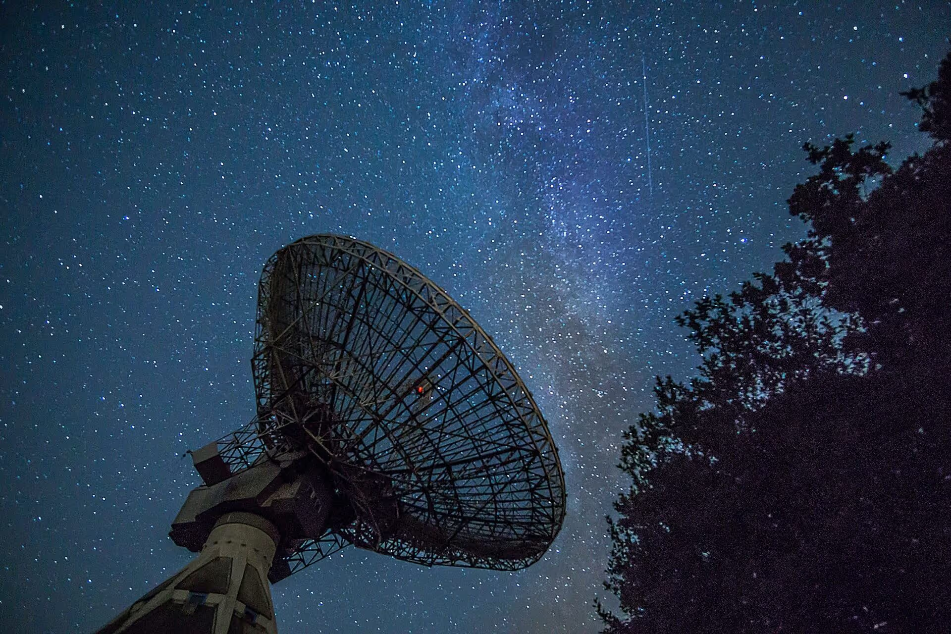
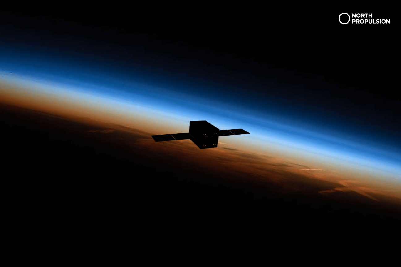
When non‑space people hear “satellite internet”, they often imagine everything in orbit being permanently online, just like their phone. In reality, most low‑Earth orbit (LEO) satellites still live in an intermittent world. They gather data continuously, but can only send it home during short windows when they pass over a compatible ground station. Between those passes, they are effectively offline.​

PermaSat exists to change that. The team is developing a connectivity layer that lets small satellites plug into existing broadband constellations using the emerging 5G‑NTN standard, so user satellites can stay connected far more of the time and behave more like devices in a modern mobile network than isolated spacecraft.​

Plugging Satellites into Other Satellites

The technology foundation for PermaSat is 5G‑NTN (Non‑Terrestrial Networks). An extension of the 5G standard that supports satellite and high‑altitude platforms as part of the same global connectivity ecosystem. In simple terms, it allows:

  • User terminals in space (small satellites) to behave like “devices” in a mobile network.
  • Large LEO constellations to act as “cell towers” handling connectivity and backhaul.

Instead of building their own downlink infrastructure, satellite operators would:

  1. Integrate PermaSat’s radio into their spacecraft.
  2. Use PermaSat’s software stack to authenticate and connect to compatible 5G‑NTN constellations.
  3. Treat connectivity as a service, focusing on payloads and data, not on maintaining ground stations.​

For non‑engineers, the team summarises it as: “we plug satellites into other satellites.”

Where Always‑On Satellites Matter Most

One of the clearest use cases the team highlights is Earth observation for disaster monitoring. Consider:

  • A wildfire spreading across a remote region.
  • A flood event rapidly evolving over hours.
  • A storm damaging coastal infrastructure.

Today, an Earth‑observation satellite may capture images of such events but cannot deliver them until it next passes over a ground station. That delay can be measured in hours. By the time the data is processed and distributed, conditions on the ground may have changed significantly.​

With a PermaSat‑style connectivity layer, satellites could push imagery and derived products as soon as they are generated. This provides near‑real‑time updates as a disaster evolves and enables responders to adjust tactics based on the latest information rather than on delayed snapshots.​

Beyond disaster response, more continuous connectivity could change what is possible in maritime communications, remote infrastructure monitoring, climate services and many other domains where latency and responsiveness matter.

From Master’s Thesis to ESA BIC Denmark

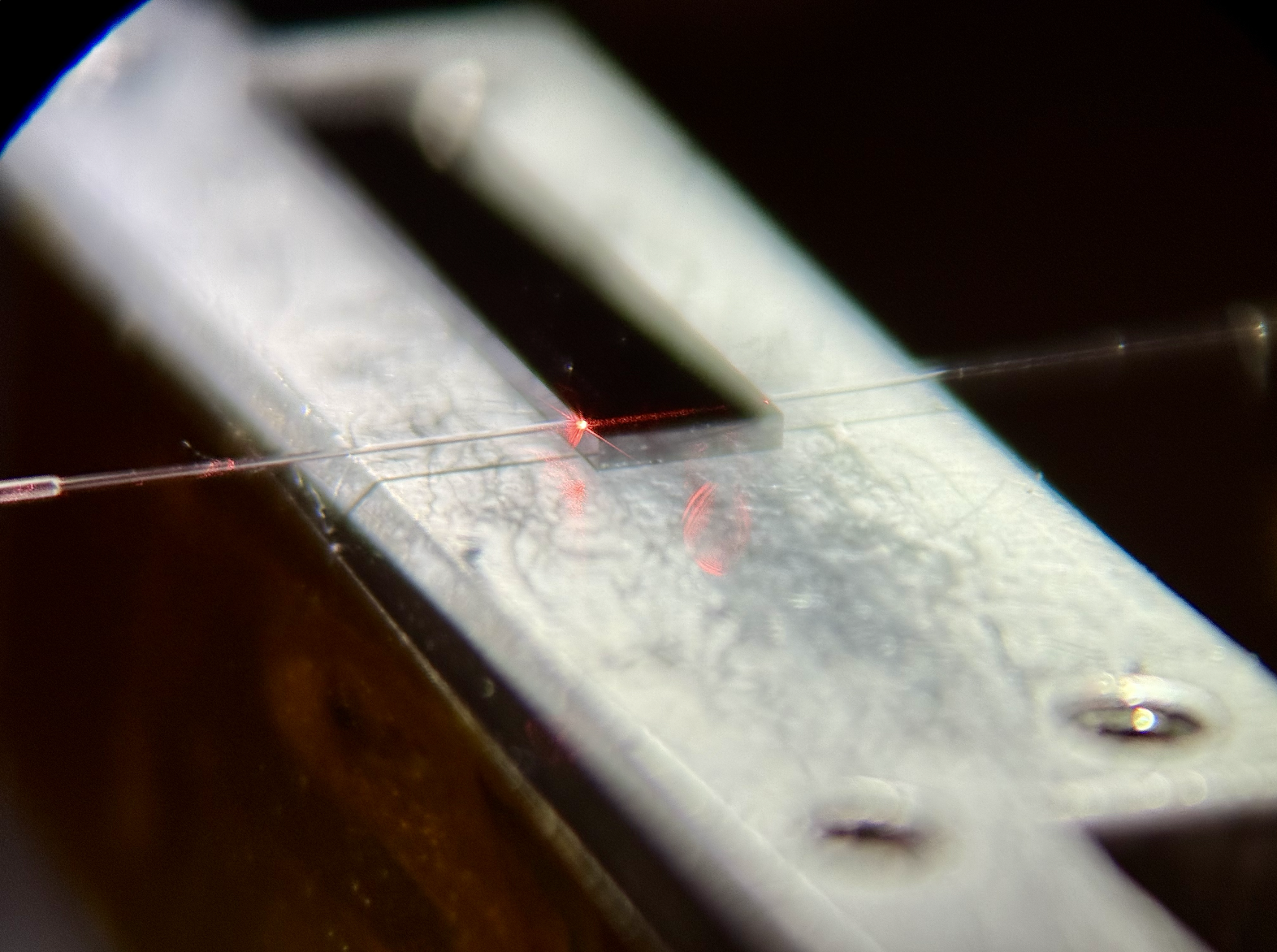
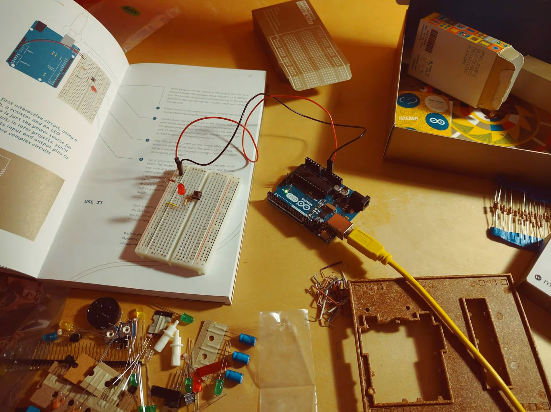
PermaSat’s journey began in academia. The core concept grew out of a master’s thesis in electrical engineering, where the founders spent nearly two years exploring how 5G‑style connectivity could be extended to small satellites, followed by months of prototyping and testing to prove that the idea was technically feasible.​

PermaSat is now part of the ESA BIC Denmark incubation programme, which supports startups that apply space technologies and standards in new ways. This support allows the team to refine their hardware and software stack, validate it with potential customers and navigate the regulatory and interoperability challenges that come with any new communications technology.

A Different “Normal” for LEO Missions

The founders sum up their ambition simply: they want PermaSat to be the default choice for new small‑satellite companies; the way to get “internet in orbit” without reinventing connectivity from scratch.

If that happens, LEO will not just be more accessible. It will be more responsive, more service‑oriented and more aligned with how people already expect connected devices to behave.

Marta Pareja Boto
ESA BIC Student Assistant

Related articles

Space
Bringing 5G Thinking to Low‑Earth Orbit

Dec 30, 2025

Case study
Environment
Turning Satellite Data into Biodiversity Intelligence for Cities

Dec 29, 2025

Case study
Manufacturing
Making "right pallet, right place, right truck" the rule.

Dec 23, 2025

Case study
Manufacturing
Mobile 3D Printing for Concrete Today, Lunar Construction Tomorrow

Dec 19, 2025

Case study
Environment
Protecting Denmark's nature with satellite and artificial intelligence

Dec 18, 2025

Case study
Environment
Using Space Technology to Clean the Arctic

Dec 18, 2025

Case study
All
Strong growth in Danish space-based startups

Nov 28, 2025

Insight
All
The Future of Space-Based Startups in Europe

Aug 29, 2025

Insight
Manufacturing
ThiaX provides real-time, non-destructive X-ray mapping of strain and crystallinity in polymers and composites

Jul 24, 2025

Case study
Drones & Robotics
AI-driven off-road autonomy software for unmanned ground vehicles on the modern battlefield

Case study
AI & Big Data
Security
Securing industrial IoT through decentralized data integrity

Case study
Drones & Robotics
Smart solutions for year-round outdoor cleaning

Case study
AI & Big Data
High efficiency compression for energy IoT and space applications

Case study
Drones & Robotics
Security
Smart identification systems for drones and airspace safety

Case study
Agriculture
Geospatial and climate model integration for agricultural finance

Case study
Drones & Robotics
Autonomous operation software for agricultural machines

Case study
Healthcare
Durable chemical free biofilm protection for materials

Case study
Drones & Robotics
Electric cargo drone systems for efficient air freight

Case study
Space
Field ready handheld chemical analysis devices

Case study
Space
Human centered design for future space habitats

Case study
Space
A one-stop shop for Composite structures in Space, with in-house design, manufacturing & testing

Case study
Drones & Robotics
Secure and efficient flight management with multispectral imaging

Case study
N/A
Comprehensive performance data for horse riders and trainers

Case study
Infrastructure
Digital solutions for smart cities and communities

Case study
Healthcare
Smart medical devices for respiratory care

Drones & Robotics
Data driven market intelligence for industrial wastewate

Case study
Agriculture
Satellite enabled smart scheduling for farm management

Case study
Space
X-ray optics design and thin film coating solutions

Case study
Maritime
Drones & Robotics
Galileo enabled drone systems for maritime operations

Case study
Fintech
Fintech for liquid and sustainable forest assets

Case study
Healthcare
Assistive navigation solutions for the visually impaired

Case study
Drones & Robotics
Airborne antenna testing for global SatCom applications

Case study
Infrastructure
Smart GPS tracking for personal and business assets

Case study
Maritime
Maritime connectivity through LEO satellites

Case study
Infrastructure
Digital infrastructure for cities and municipalities

Case study
Agriculture
Early detection of crop threats through data-driven insights

Case study
Drones & Robotics
Autonomous platforms for repetitive and dangerous tasks

Case study
Agriculture
Cloud-free satellite imagery for urban and landscape monitoring

Case study
Drones & Robotics
High-end flight termination systems for safe drone operations

Case study
Maritime
Robotic solutions for maritime tasks

Case study
Agriculture
Drones & Robotics
Drone imagery analysis for crop and weed detection

Case study
Space
Non-destructive testing using terahertz lightwaves

Case study
N/A
Rapid installation of screw pile foundations

Case study
Space
Chemical Propulsion For Microsatellites

Case study
Environment
Using earth observation to guide peatland restoration

Case study
Space
Advancing space-based materials and microdevice development

Case study
Maritime
Searchlights designed for safety and rescue at sea

Case study
Education
Science experiments made simple for the classroom

Case study
Environment
Drones & Robotics
Security
Reducing wildfire impact with autonomous technology

Case study
Security
Maritime
How Danish Company Tordenskjold Uses Satellite Technology to Enhance Maritime Security

Case study
Maritime
Sensemakers is Transforming the Danish Maritime Environment Using Space

Case study
Manufacturing
From road to orbit: How AIRY’s additive manufacturing for EVs is now building lightweight structures for satellites

Case study
Infrastructure
InnoPilot Leverages Space Technology to Keep Critical Infrastructure Safe and Connected

Case study
Healthcare
How Yuman frees up nurses using robots assistants integrated with GNSS

Case study
Fintech
From Space to Shipping Markets: How Danish Company Navi Merchant Uses Satellite Data to Predict Freight Prices

Case study
Environment
How Klimate uses space to verify forest carbon dioxide removal

Case study
Energy
Aerial Tools Uses Satellite Technology to Improve Energy Efficiency and Solar Maintenance

Case study
Drones & Robotics
How using satellite data helps HectoDrone to map environmental challenges and carry out surveillance in cold isolated areas like Greenland

Case study
AI & Big Data
Atla.ai Turns Satellite Data into Actionable Insights with AI

Case study
Agriculture
PerPlant Uses Space Technology to Make Precision Agriculture Accessible to All Farmers

Aug 1, 2025

Case study
All
What is a space connection?

Apr 28, 2025

Insight