


Related Content

CONTACT PERSON

Amanda Borup Pedersen
ESA BIC MANAGER, DTU
BOOK A STARTUP INTRO CALL


Contact Person

Poul zimmermann nielsen
ESA Technology broker, DTU
Get in touch

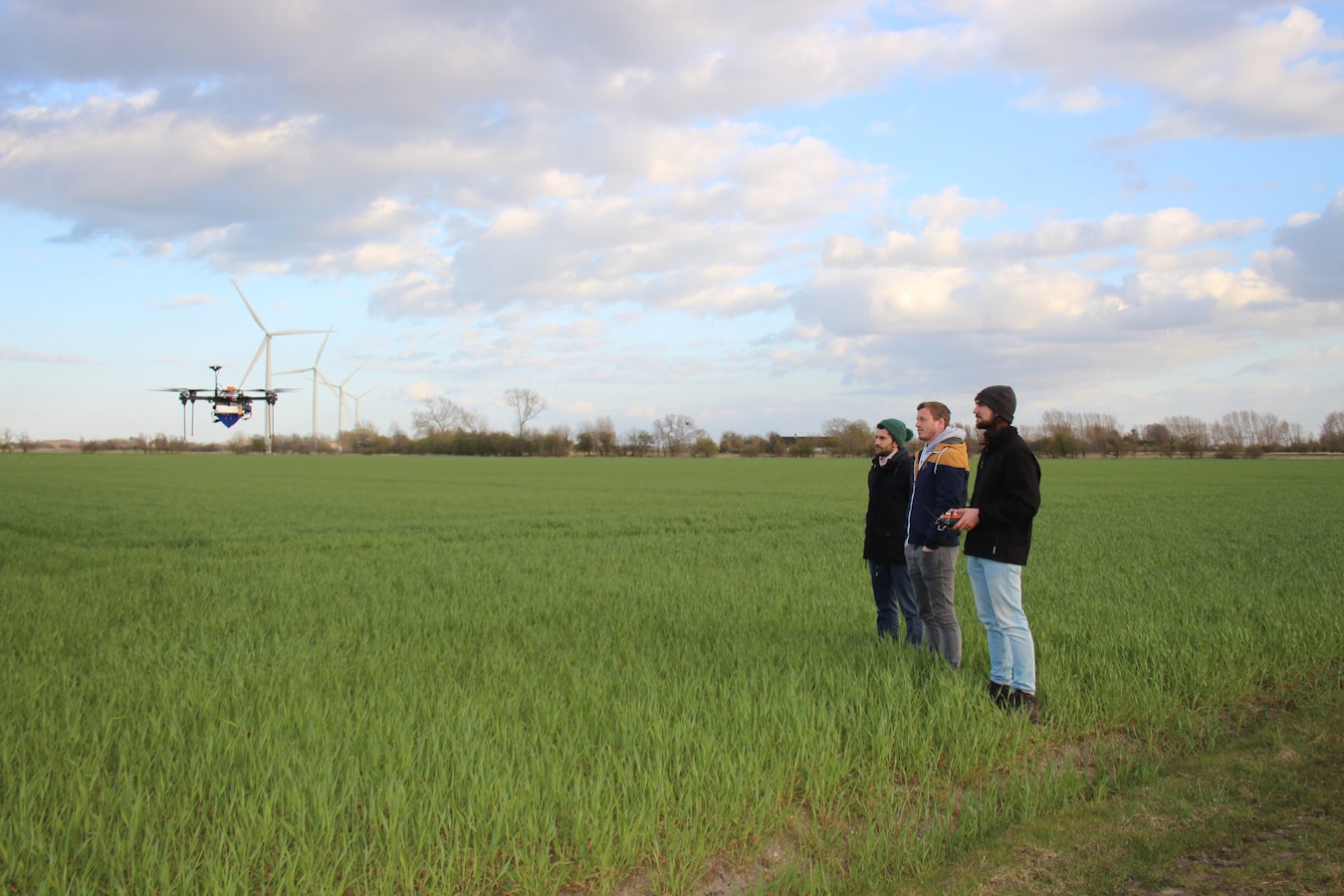
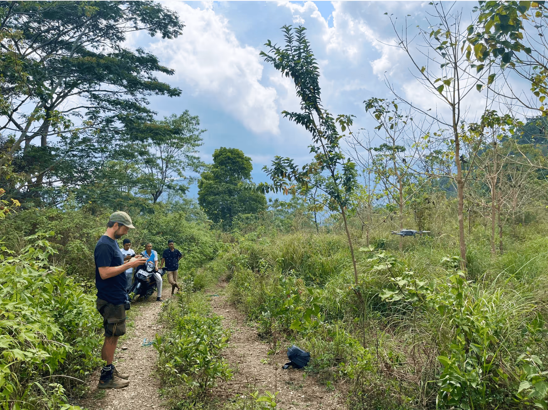
Gismap began with a very manual problem: understanding urban nature often meant literally walking around and counting trees one by one. Fieldwork provided snapshots, but not a scalable way to monitor biodiversity across entire cities or property portfolios.
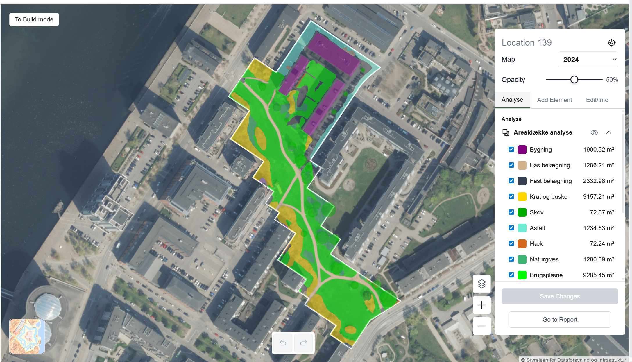
The company is now building a SaaS platform that lets users zoom into a map, click on an area and instantly see what type of vegetation is there, how healthy it is, and what that means for biodiversity. The core idea is simple from a user’s perspective: an AI model that tells you what kind of vegetation you are looking at, enriched with data on species, protected nature and the state of local ecosystems.
Behind that simplicity sits a sophisticated geospatial data stack. Gismap combines orthophotos, providing detailed aerial imagery of cities and landscapes; digital elevation models, capturing terrain and structure height;fField and registry data, such as land use, ownership and nature designations; and Earth observation satellite data, for continuous, large‑scale monitoring.
The result is not just a “green percentage” map but a richer picture of how nature is structured, where it is under pressure and where there is potential for restoration.
For many of Gismap’s customers, the real value appears when they see their entire portfolio on one map for the first time. Municipalities, housing associations, pension funds, developers and contractors are used to working project by project.
Questions about maintenance, ownership, biofactor requirements and protected nature stop being a puzzle of PDFs, spreadsheets and static GIS exports and become part of a living, interactive overview.
Different stakeholders use Gismap in different ways:
Space data is central to this shift. As an ESA BIC Denmark startup, Gismap is building a multi‑modal satellite data pipeline that can be used both for training AI models and for live analysis. Satellite data are processed, normalised and fused with local datasets. This enables the platform to detect ecological corridors and barriers, assess vegetation health and stress at scale and estimate attributes at the level of individual trees, such as height and crown size.
By anchoring analyses in Earth observation, Gismap can update maps regularly, compare time periods and provide consistent metrics across entire regions.
Looking 10 years ahead, the team behind Gismap hopes this will change how cities are designed. With better information, planners and developers can prioritise green corridors, protect existing high‑value nature and integrate new planting where it matters most. Nature stops being something that survives in leftover spaces and becomes something deliberately woven into the fabric of the built environment.
For Gismap, the ambition is modest in words but big in impact: use space data and AI to help people design cities where nature can truly thrive.


May 18, 2026

May 14, 2026

Jul 24, 2025
%202.avif)
%202.jpg)
.png)


.jpg)


%202.png)


.jpg)

%202.avif)


.avif)

