


Agriculture
Space-based assets have boosted agricultural efficiency and production with improved crop monitoring and precise, autonomous vehicles

Using Space-Based Assets to Address Modern Day Agricultural Challenges
Satellite imagery and weather data enable more accurate yield predictions, which optimizes yield by improving decision-making throughout the season. Crop health is analyzed from spectral satellite imagery in relation to weather, pests, and disease, to empower decision making for mitigation strategies.
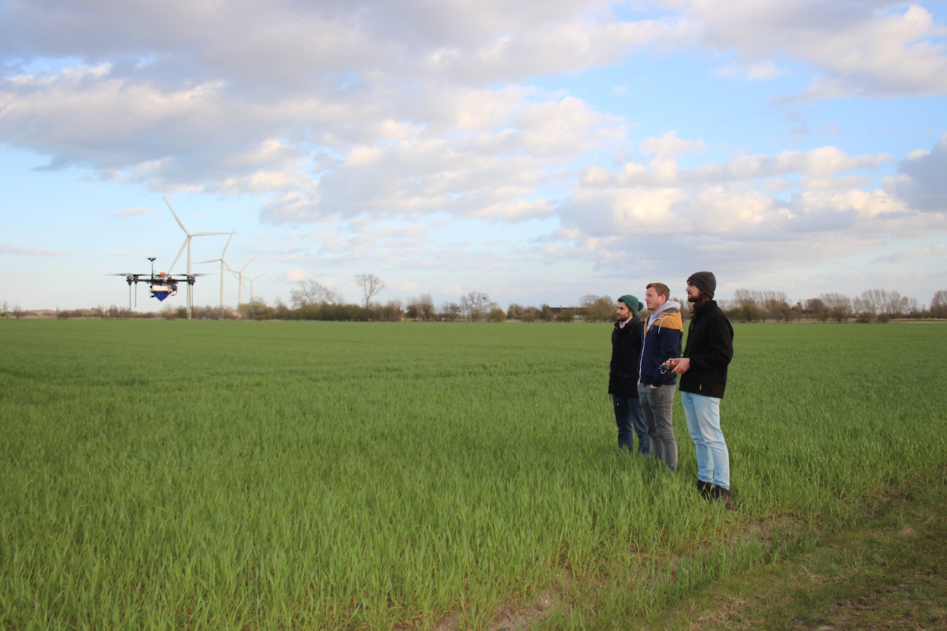
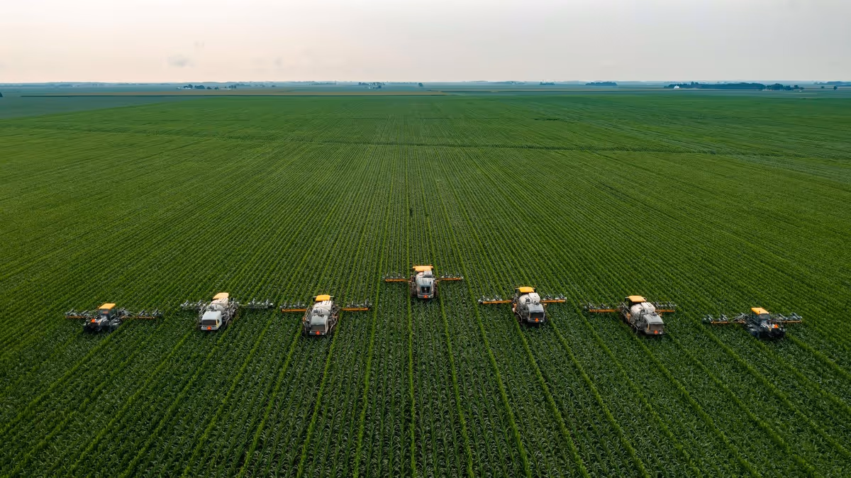
Precision agriculture for crop management relies on autonomous vehicles using satellite connectivity and positioning. Common farming machinery already making use of precision agriculture techniques include tractors, harvesters, sprayers, and irrigation optimization. Precision agriculture means that the crop gets what it needs, where and when it needs it.
Essentially, space-based assets have far-reaching applications in addressing the challenges of modern-day farming and offer the chance to increase yield in a time where climate change exacerbates food insecurity for a growing global population.
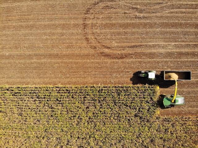
The application of GNSS in farm machinery means that the equipment knows exactly where it needs to be to ensure quality of the field with minimized erosion and targeted irrigation. With this increased accuracy, autonomous equipment also brings increased efficiency as machines can operate safely at higher speeds both day and night.
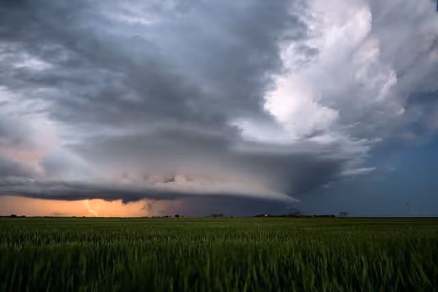
As agriculture is dependent on weather, parametric insurance allows for payouts to be made to farmers using a physical parameter that corresponds to weather with negative impacts on crops or livestock. For instance, low soil moisture content may trigger payments for drought impacts. Parametric insurance gives both farmers and insurance companies the advantage of faster, more efficient payouts and clear-cut thresholds for payments.
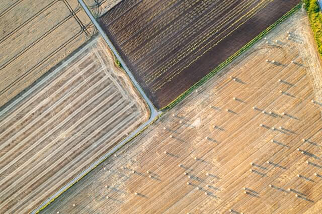
Analyzing multispectral images, taken by satellites such as Sentinel-2, can provide a range of various information on crops throughout their growth cycles. For instance, vegetation indices such as NDVI (Normalized Difference Vegetation Index) can measure biomass while water or moisture indices such as NDMI (Normalized Difference Moisture Index) can aid in early identification of water stresses.
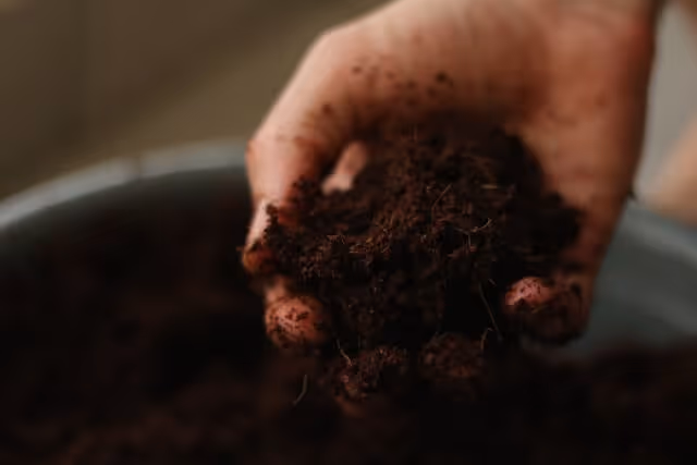
Through a combination of ground sensors and satellite imagery, the amount of soil moisture can be highly accurately monitored and enable irrigation scheduling to be precisely adapted to real-time conditions. This supports sustainability through preventing water over usage through overwatering and runoff.

Related Resources


.avif)
.avif)