


Maritime & Fisheries
From ship owners to coast guards - the maritime sector benefits from Earth and space technology for safer navigation, inspections, pollution

Unlocking Maritime Efficiency Through Space-Based Solutions
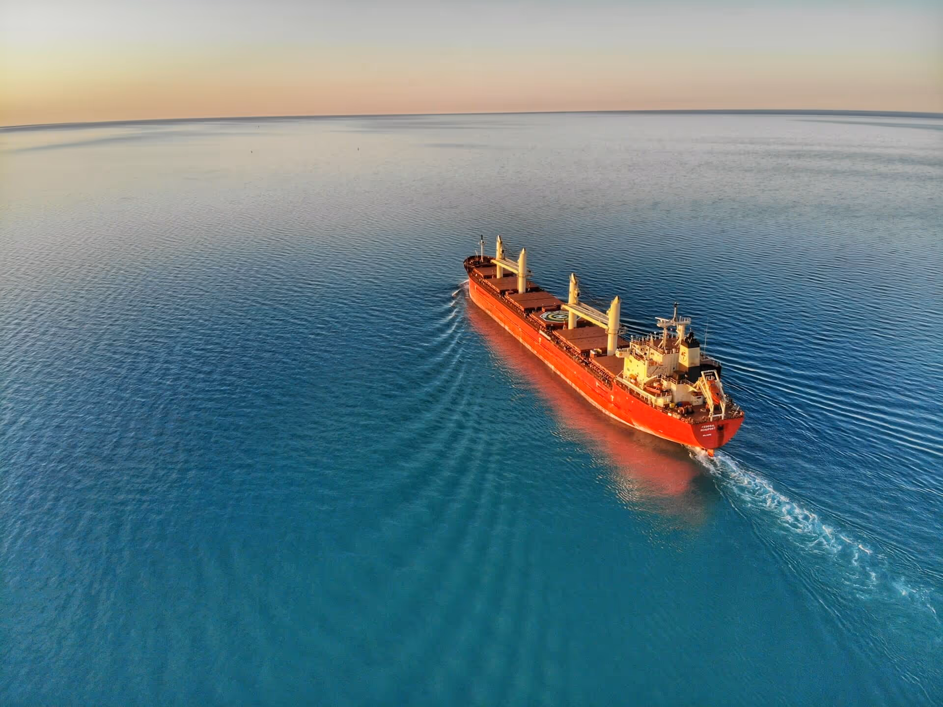
The maritime industry is undergoing a digital transformation, with space-based technologies playing a key role in this shift. The global maritime satellite market is projected to grow from $3.93 billion in 2022 to $10.88 billion by 2033, driven by a need for enhanced communication, navigation, and operational oversight at sea. Satellite-based Earth observation and communication systems support real-time monitoring, environmental tracking, and improved safety, especially in remote or signal-poor regions. For maritime actors such as ship owners, port authorities, and offshore operators, this means greater efficiency, reduced risk, and better decision-making.
Integrating space technology enables predictive maintenance, emissions monitoring, optimized routes, and stronger situational awareness. As the maritime digitization market is expected to exceed $423 billion by 2031, adopting space tech is not just a competitive edge—it’s becoming a necessity for sustainable and secure operations. Embracing space technology unlocks smarter, cleaner, and more resilient maritime futures.

By leveraging drones and GNSS, ship inspections can be conducted without exposing personnel to risk in hard-to-reach or hazardous areas.

Satellite and drone technologies aid in detecting piracy, illegal fishing, smuggling, and unauthorized access in territorial waters

Satellites enhance distress signal detection and coordination for faster maritime emergency response

Satellite-based Automatic Identification System (AIS) improves global vessel tracking, including detection of "dark ships" in remote areas

Using satellite imagery to detect oil spills, monitor emissions, track marine pollution, and ensure regulatory compliance

Satellite data helps ships avoid severe weather, reduce fuel consumption, and optimize travel routes
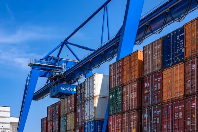
Satellite-based technologies enhance cargo tracking, improve coordination across global shipping routes, and support balanced, efficient cargo loading

Related Resources

.jpg)


.avif)